ArcGIS, QGIS or web apps can simply use this map with web map services. WMTS, TileJSON or XYZ tiles are provided for quick access to processed maps.
Sign in to get links.
Sign in to download GeoTIFF.
Overlay & compare
Website
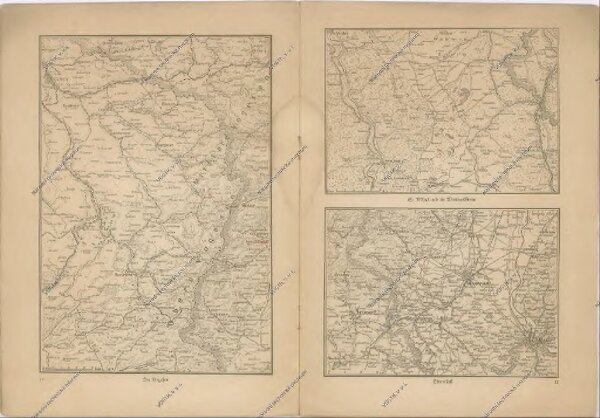
Kriegs Atlas 36 Karten von den Schauplätzen des Weltkrieges 1914/1915
37933
NTM