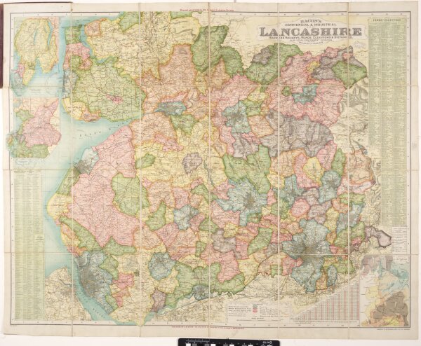
Bacon's commercial & industrial map of Lancashire: showing railways, roads elevations & distances: also local government divisions including parishes with acreages.
ArcGIS, QGIS or web apps can simply
use this map with web map services.
WMTS, TileJSON or XYZ tiles
are provided for quick access to processed maps.
Sign in to get links.