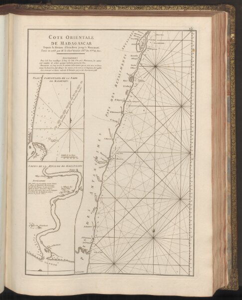
Cote Orientale de Madagascar Depuis la Rviere d'Ivondrou jusqu'à Mananzari. - Plan Particulier de la Rade de Manourou.
ArcGIS, QGIS or web apps can simply
use this map with web map services.
WMTS, TileJSON or XYZ tiles
are provided for quick access to processed maps.
Sign in to get links.