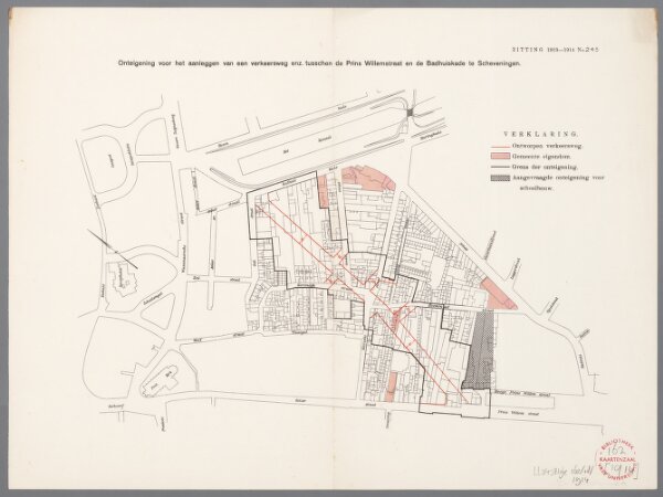
Onteigening voor het aanleggen van een verkeersweg enz. tusschen de Prins Willemstraat en de Badhuiskade te Scheveningen
ArcGIS, QGIS or web apps can simply
use this map with web map services.
WMTS, TileJSON or XYZ tiles
are provided for quick access to processed maps.
Sign in to get links.