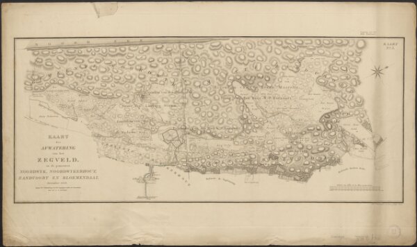
Kaart der afwatering van het Zegveld in de gemeenten Noordwyk, Noordwykerhout, Zandvoort en Bloemendaal, December 1823
ArcGIS, QGIS or web apps can simply
use this map with web map services.
WMTS, TileJSON or XYZ tiles
are provided for quick access to processed maps.
Sign in to get links.