ArcGIS, QGIS or web apps can simply use this map with web map services. WMTS, TileJSON or XYZ tiles are provided for quick access to processed maps.
Sign in to get links.
Sign in to download GeoTIFF.
Overlay & compare
iiif viewer, iiif info json
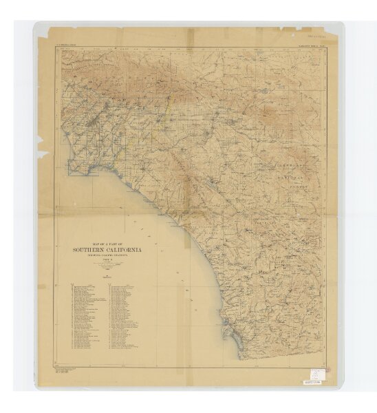
Map of a part of Southern California, showing gaging stations
21198_zz002c14zh
California
Relief shown by contours and spot heights. Map is plate 1 and 2 from the U.S. Geological Survey's Water- supply paper 447. Includes index.
1920
Geologic Survey (U.S.)
[Washington, D.C.] : U.S. Geological Survey, 1920.
59 × 89 cm
1 : 1250000