ArcGIS, QGIS or web apps can simply use this map with web map services. WMTS, TileJSON or XYZ tiles are provided for quick access to processed maps.
Sign in to get links.
Sign in to download GeoTIFF.
Overlay & compare
iiif viewer, iiif info json
Website
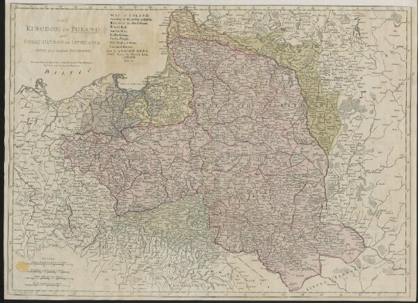
THE KINGDOM OF POLAND and GREAT DUCHY OF LITHUANIA WITH ALL THEIR DIVISIONS.
mapsukutopu110u51u2
ktop
[1772.]
Sayer, Robert
Printed for Robert Sayer, Map & Printseller, N.o 53 Fleet Street. Published as the Act directs 2d. March 1772,