ArcGIS, QGIS or web apps can simply use this map with web map services. WMTS, TileJSON or XYZ tiles are provided for quick access to processed maps.
Sign in to get links.
Sign in to download GeoTIFF.
Overlay & compare
iiif viewer, iiif info json
Website
Catalog
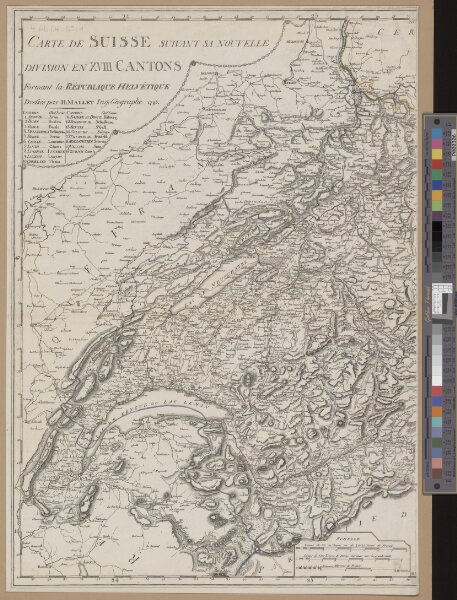
Carte de Suisse suivant sa nouvelle division en XVIII cantons
990017333300205508
Alte Schweizerkarten
1 Karte in 2 Bl.
1798
dressé par H. Mallet, Ing. Geographe
[Verlag nicht ermittelbar], [Erscheinungsort nicht ermittelbar]