ArcGIS, QGIS or web apps can simply use this map with web map services. WMTS, TileJSON or XYZ tiles are provided for quick access to processed maps.
Sign in to get links.
Sign in to download GeoTIFF.
Overlay & compare
iiif viewer, iiif info json
Website
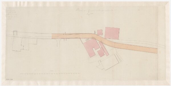
Wädenswil: Projektierte Strasse beim Giessen; Situationsplan
PLAN_S_516
Maps
From 1834-05-01 to 1834-05-31
70 × 35 cm
1 : 300
300