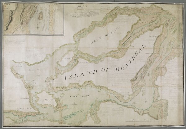
PLAN of that part of CANADA and the RIVER ST. LAWRENCE, which lies between the COTEAU des CEDRES (the uppermost settlements of CANADA) and the ISLAND of ST. THERESE, containing the Island of MONTREAL, Isle IESUS, Isle BISARE, Isle PERAULT, &c. The Lakes of St. Louis, les deux Montagnes &c. formed by the RIVER ST LAWRENCE, the City of MONTREAL, all the Villages, fortified posts, Habitations, and cultivated Country throughout the whole Extent. ....
ArcGIS, QGIS or web apps can simply
use this map with web map services.
WMTS, TileJSON or XYZ tiles
are provided for quick access to processed maps.
Sign in to get links.