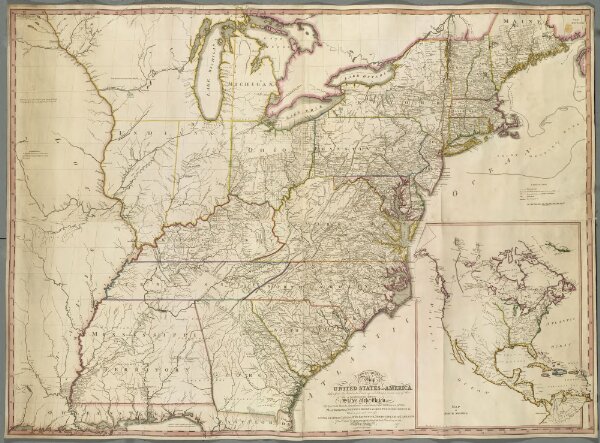
A NEW & CORRECT Map OF THE UNITED STATES OF AMERICA, taken from the latest actual Surveys; exhibiting a correct view of the location of the different States of the Union.
ArcGIS, QGIS or web apps can simply
use this map with web map services.
WMTS, TileJSON or XYZ tiles
are provided for quick access to processed maps.
Sign in to get links.