ArcGIS, QGIS or web apps can simply use this map with web map services. WMTS, TileJSON or XYZ tiles are provided for quick access to processed maps.
Sign in to get links.
Sign in to download GeoTIFF.
Overlay & compare
iiif viewer, iiif info json
Website
Catalog
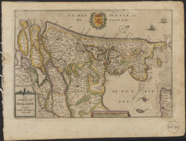
Le Comte de Hollande
1874-20438
Maps of the Netherlands and Dutch regions
1635
auctore Baltha: Florentius de Berkenrode.
[Amsterdam] : [Jacob Aertsz. Colom]
23 × 16 cm
1 : 750000
300