ArcGIS, QGIS or web apps can simply use this map with web map services. WMTS, TileJSON or XYZ tiles are provided for quick access to processed maps.
Sign in to get links.
Sign in to download GeoTIFF.
Overlay & compare
iiif viewer, iiif info json
Website
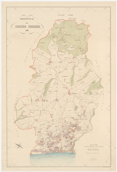
Herrliberg: Gemeinde; Übersichtsplan
PLAN_B_744
Maps
From 1922-01-01 to 1922-12-31
Vogel, L., Grundbuchgeometer, in Herrliberg
78.1 × 115.7 cm
1 : 5000
250