ArcGIS, QGIS or web apps can simply use this map with web map services. WMTS, TileJSON or XYZ tiles are provided for quick access to processed maps.
Sign in to get links.
Sign in to download GeoTIFF.
Overlay & compare
iiif viewer, iiif info json
Website
11150388296
flickr2
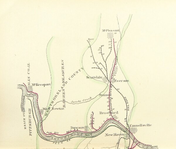
Book: History of the County of Westmoreland, Pennsylvania, with biographical sketches of many of its ... prominent men. Edited by G. D. Albert. Illustrated
1882
ALBERT, George Dallas.
L. H. Everts
194.5 × 229.7 cm