ArcGIS, QGIS or web apps can simply use this map with web map services. WMTS, TileJSON or XYZ tiles are provided for quick access to processed maps.
Sign in to get links.
Sign in to download GeoTIFF.
Overlay & compare
iiif viewer, iiif info json
Website
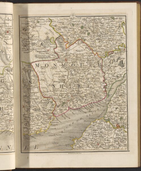
Carys new map of England and Wales, with part of Scotland :
118udu6up053
ktop2
1 volume
1794
Cary, John
publishd June 11th 1794 by J. Cary, engraver & map-seller, No. 181 Strand