ArcGIS, QGIS or web apps can simply use this map with web map services. WMTS, TileJSON or XYZ tiles are provided for quick access to processed maps.
Sign in to get links.
Sign in to download GeoTIFF.
Overlay & compare
iiif viewer, iiif info json
Website
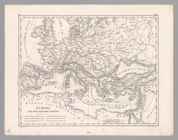
Plate 12. Europa zur Zeit der Kreuzzuege.
12190.251
pilot5
1849
1850
Heck, Johann Georg, -1857
Rudolph Garrigue
26 × 23 cm
1 : 17700000