ArcGIS, QGIS or web apps can simply use this map with web map services. WMTS, TileJSON or XYZ tiles are provided for quick access to processed maps.
Sign in to get links.
Sign in to download GeoTIFF.
Overlay & compare
iiif viewer, iiif info json
Website
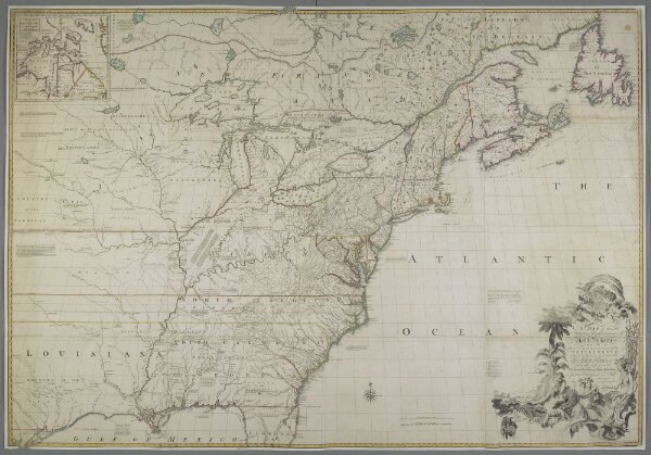
A MAP of the British and French Dominions in North America
mapsukutopu118u49ucu2utabuend
ktop
[Feb.ry 13.th 1755.]
Mitchell, John
Publish'd by the Author Feb.ry 13.th 1755 according to Act of Parliament, and Sold by And: Miller opposite Katherine Street in the Strand,