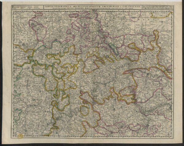
Tabula Geographica Archiepiscopahtum Treyirensis et Coloniensis, qui partem faciunt circuli Inferioris Rheni, per N. Visscher.
ArcGIS, QGIS or web apps can simply
use this map with web map services.
WMTS, TileJSON or XYZ tiles
are provided for quick access to processed maps.
Sign in to get links.