ArcGIS, QGIS or web apps can simply use this map with web map services. WMTS, TileJSON or XYZ tiles are provided for quick access to processed maps.
Sign in to get links.
Sign in to download GeoTIFF.
Overlay & compare
iiif viewer, iiif info json
Website
Original viewer
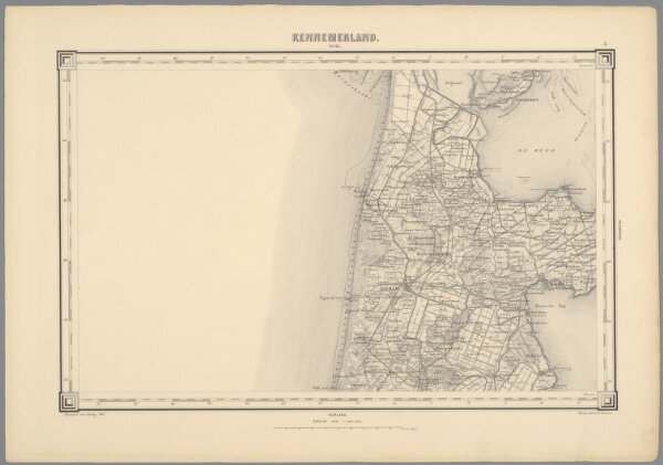
6, uit: Topografische atlas van het Koninkrijk der Nederlanden
0106053051008
1800-1880
Annotatie: Map met 19 losse krt. schaal 1:200.000 en 1 bladwijzer schaal 1:1.000.000
1868
['s-Gravenhage : Ministerie van Oorlog, Topografisch Bureau]
300