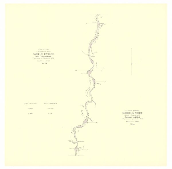
Spesielle kart 172b-8: Kart over riksgrensen mellom Norge og Finland på grunnlag av luftfotografier
ArcGIS, QGIS or web apps can simply
use this map with web map services.
WMTS, TileJSON or XYZ tiles
are provided for quick access to processed maps.
Sign in to get links.