ArcGIS, QGIS or web apps can simply use this map with web map services. WMTS, TileJSON or XYZ tiles are provided for quick access to processed maps.
Sign in to get links.
Sign in to download GeoTIFF.
Overlay & compare
iiif viewer, iiif info json
Website
Catalog
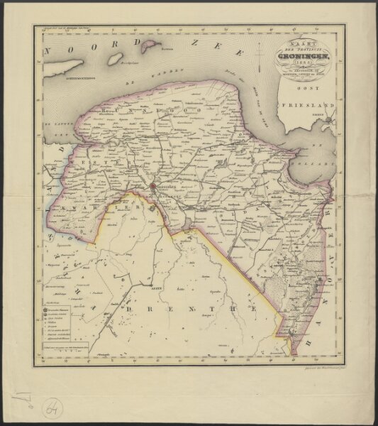
Kaart der provincie Groningen
1874-350619
Maps of the Netherlands and Dutch regions
1838
gegrav. door Hs. en Dl. Veelwaard junior.
Amsterdam : Mortier, Covens en zoon
34 × 37 cm
1 : 230000
300