ArcGIS, QGIS or web apps can simply use this map with web map services. WMTS, TileJSON or XYZ tiles are provided for quick access to processed maps.
Sign in to get links.
Sign in to download GeoTIFF.
Overlay & compare
iiif viewer, iiif info json
Website
Catalog
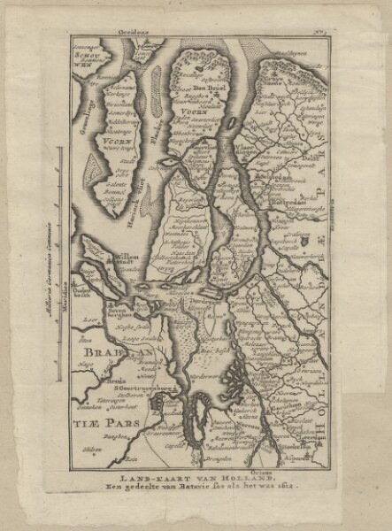
Land-kaart van Holland, een gedeelte van Batavie soo als het was 1612.
1874-350593
Maps of the Netherlands and Dutch regions
1612
[S.l.] : [s.n.]
11 × 18 cm
1 : 500000
300