ArcGIS, QGIS or web apps can simply use this map with web map services. WMTS, TileJSON or XYZ tiles are provided for quick access to processed maps.
Sign in to get links.
Sign in to download GeoTIFF.
Overlay & compare
iiif viewer, iiif info json
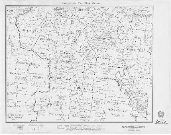
Queensland Two Mile series sheet 2m125
cad-map-2mile-qld-2m125-lad-bdy-1966
2 mile Series Maps
Cadastral map of Queensland Two Mile (1:126720) series sheet 2m125 displaying real property information; major road names and Administrative Areas including Parish and County. Annotated with Land Agents District boundaries
1966
Department of Natural Resources Mines and Energy
28.79 × 22.7 cm
200