ArcGIS, QGIS or web apps can simply use this map with web map services. WMTS, TileJSON or XYZ tiles are provided for quick access to processed maps.
Sign in to get links.
Sign in to download GeoTIFF.
Overlay & compare
Website
Original viewer
Catalog
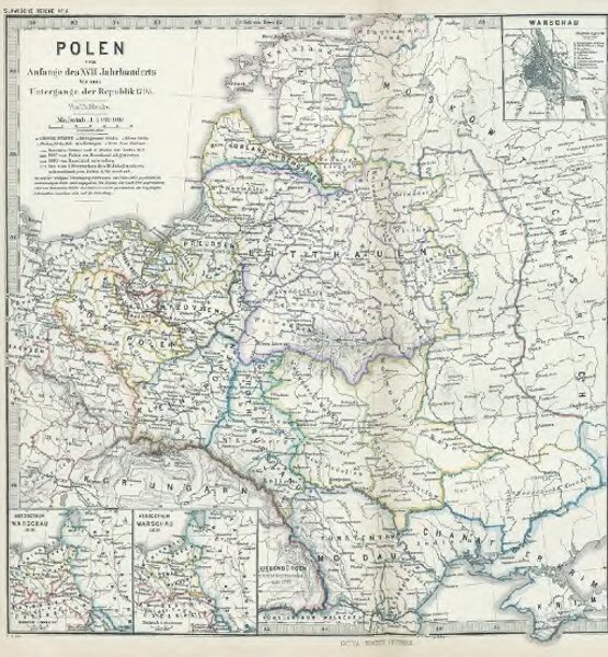
Polen vom Anfange des XVIII Jahrhunderts bis zum Untergange der Republik 1795
gbvppn_685000710_121
GeoPortOst II
Polen-Litauen, Teilungen Polens
From 1700 to 1795
1880
1 : 5000000