ArcGIS, QGIS or web apps can simply use this map with web map services. WMTS, TileJSON or XYZ tiles are provided for quick access to processed maps.
Sign in to get links.
Sign in to download GeoTIFF.
Overlay & compare
iiif viewer, iiif info json
Website
Catalog
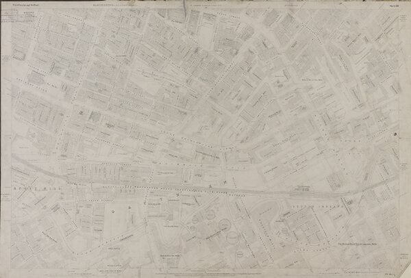
Manchester and Salford. Sheet 33
JRL1300083
Ordnance Survey_Manchester
Map series: Ordnance Survey five feet to one statute mile. Manchester and Salford
1849
Ordnance Survey
Ordnance Survey Office
91 × 61 cm
1 : 1056