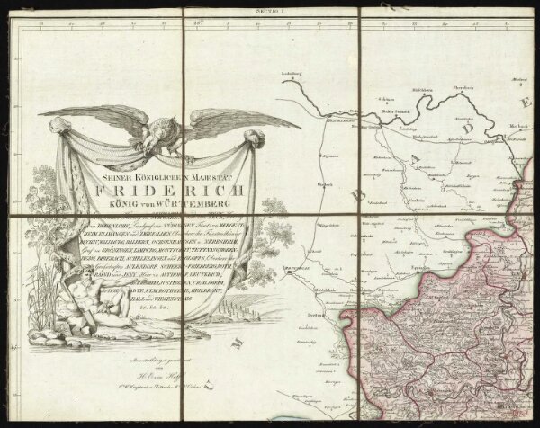
HStAS N 100_Nr. 352_ : "Charte von Königreich Württemberg nach der Gränz-Berichtigung von 1810 und mit Benutzung der neuesten u. zuverlässigsten Hülfsmitteln auf 6 Blättern entworfen und gezeichnet von H. E. von Hoff, Königl. Würtembergischen Hauptmann, Augsburg bey Johannes Walch 1812"
ArcGIS, QGIS or web apps can simply
use this map with web map services.
WMTS, TileJSON or XYZ tiles
are provided for quick access to processed maps.
Sign in to get links.