ArcGIS, QGIS or web apps can simply use this map with web map services. WMTS, TileJSON or XYZ tiles are provided for quick access to processed maps.
Sign in to get links.
Sign in to download GeoTIFF.
Overlay & compare
iiif viewer, iiif info json
Website
Catalog
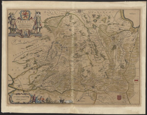
Drentia Comitatus Transiselaniae Tabula II
1874-348676
Maps of the Netherlands and Dutch regions
1645
Auctore Cornelio Pynacker I.C.
[Amsterdam] : [Iohannem Blaev]
53 × 38 cm
1 : 220000
300