ArcGIS, QGIS or web apps can simply use this map with web map services. WMTS, TileJSON or XYZ tiles are provided for quick access to processed maps.
Sign in to get links.
Sign in to download GeoTIFF.
Overlay & compare
iiif viewer, iiif info json
Original viewer
Catalog
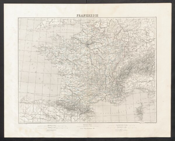
Frankreich
18559380
Atlas
Geographischer Atlas über alle Theile der Erde
1851
Ziegler, Jakob Melchior
Verlag von Dietrich Reimer