ArcGIS, QGIS or web apps can simply use this map with web map services. WMTS, TileJSON or XYZ tiles are provided for quick access to processed maps.
Sign in to get links.
Sign in to download GeoTIFF.
Overlay & compare
Website
Original viewer
Catalog
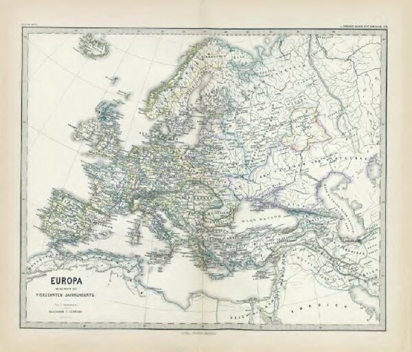
Europa um die Mitte des Vierzehnten Jahrhunderts
gbvppn_685000710_56
GeoPortOst II
Europa
1350
1880
1 : 15000000