ArcGIS, QGIS or web apps can simply use this map with web map services. WMTS, TileJSON or XYZ tiles are provided for quick access to processed maps.
Sign in to get links.
Sign in to download GeoTIFF.
Overlay & compare
iiif viewer, iiif info json
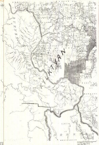
Wide Bay 2 mile map DG2 series sheet 4
cad-map-2mile-wide-bay-dg2-sh4-1883
2 Mile DG2 Wide Bay (Collection 21)
Cadastral map of Wide Bay 2 Mile (1:126720) map DG2 series sheet 4 displaying real property information and Administrative Areas including Parishes
1883
Dept of Resources
53.2 × 77.3 cm
300