ArcGIS, QGIS or web apps can simply use this map with web map services. WMTS, TileJSON or XYZ tiles are provided for quick access to processed maps.
Sign in to get links.
Sign in to download GeoTIFF.
Overlay & compare
iiif viewer, iiif info json
Original viewer
Catalog
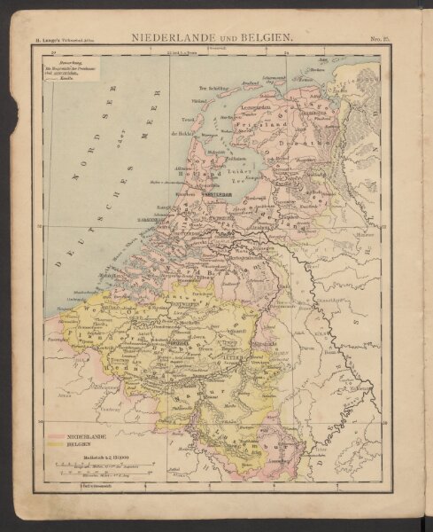
Niederlande und Belgien
18476116
Atlas
Volksschul-Atlas über alle Teile der Erde
1886
Lange, Henry
Druck und Verlag von Georg Westermann