ArcGIS, QGIS or web apps can simply use this map with web map services. WMTS, TileJSON or XYZ tiles are provided for quick access to processed maps.
Sign in to get links.
Sign in to download GeoTIFF.
Overlay & compare
iiif viewer, iiif info json
Website
11202248643
flickr2
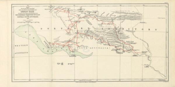
Book: Australia twice traversed ... Being a narrative compiled from the Journals of five exploring expeditions ... from 1872 to 1876 ... With maps and illustrations
1889
GILES, Ernest.
Sampson Low & Co
513.2 × 257.5 cm