ArcGIS, QGIS or web apps can simply use this map with web map services. WMTS, TileJSON or XYZ tiles are provided for quick access to processed maps.
Sign in to get links.
Sign in to download GeoTIFF.
Overlay & compare
iiif viewer, iiif info json
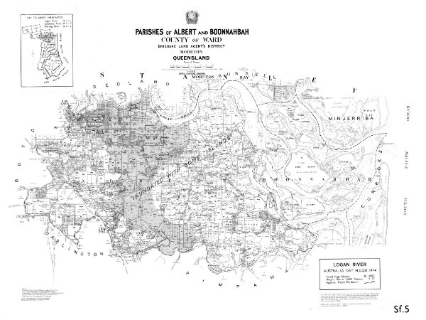
Flood map of Logan River Sf5
40chain-logan-river-sf5-1974
Flood Maps
Flood map of Logan River Sf5 based on Parishes of Albert and Boonnahbah showing 1974 flooding of the Logan River
1974
Department of Natural Resources Mines and Energy
90 × 68 cm
250