ArcGIS, QGIS or web apps can simply use this map with web map services. WMTS, TileJSON or XYZ tiles are provided for quick access to processed maps.
Sign in to get links.
Sign in to download GeoTIFF.
Overlay & compare
iiif viewer, iiif info json
Website
Catalog
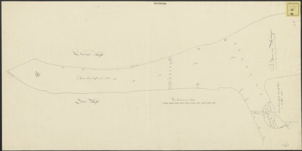
De haven van Harlingen met dessels diepte en wijde, bij gewoon hoogwater.
1874-350560
Maps of the Netherlands and Dutch regions
1700
[S.l.] : [s.n.]
98 × 49 cm
1 : 660
300