ArcGIS, QGIS or web apps can simply use this map with web map services. WMTS, TileJSON or XYZ tiles are provided for quick access to processed maps.
Sign in to get links.
Sign in to download GeoTIFF.
Overlay & compare
iiif viewer, iiif info json
Website
Catalog
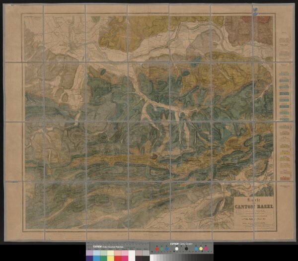
Karte vom Canton Basel
990005264850205508
Landkarten made in Zürich
1 Karte auf 4 Bl.
1862
entworfen von Andreas Kündig im Verlag von C. Detloff in Basel ; geologisch aufgenommen u. dargestellt von Albr. Müller in Basel 1862
Wurster & Cie., Winterthur
1 : 50000