ArcGIS, QGIS or web apps can simply use this map with web map services. WMTS, TileJSON or XYZ tiles are provided for quick access to processed maps.
Sign in to get links.
Sign in to download GeoTIFF.
Overlay & compare
iiif viewer, iiif info json
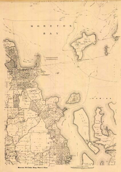
Moreton 40 Chain map AG2 series sheet 3 east
cad-map-40chn-moreton-ag2-sh3-east-1927.tif
40 chain Moreton District AG2 Series Maps
Cadastral map of Moreton 40 Chain (1:31680) map AG2 series sheet 3 east displaying real property information and Administrative Areas including Parishes
1927
Department of Natural Resources Mines and Energy
53.63 × 75.86 cm
400