ArcGIS, QGIS or web apps can simply use this map with web map services. WMTS, TileJSON or XYZ tiles are provided for quick access to processed maps.
Sign in to get links.
Sign in to download GeoTIFF.
Overlay & compare
iiif viewer, iiif info json
Website
11058864054
flickr2
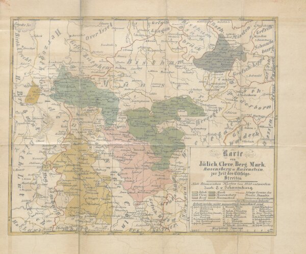
Book: Die Begründung der Brandenburg-Preussischen Herrschaft am Niederrhein und in Westfalen, oder der Jülich-Clevische Erbfolgestreit. Nebst einer geographischen und historischen Uebersicht der Herzogthümer Jülich, Cleve, Berg, etc
1859
SCHAUMBURG, E. von.
468.7 × 389.2 cm