ArcGIS, QGIS or web apps can simply use this map with web map services. WMTS, TileJSON or XYZ tiles are provided for quick access to processed maps.
Sign in to get links.
Sign in to download GeoTIFF.
Overlay & compare
iiif viewer, iiif info json
Website
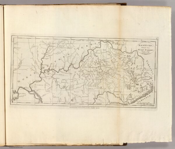
Kentucky.
4863.040
pilot4
Kentucky, Reduced from Elihu Barker's Large Map. W. Barker sculp. Engraved for Carey's American Edition of Guthrie's Geography improved.
1811
Carey, Mathew
M. Carey
51 × 25 cm
1 : 1393920