ArcGIS, QGIS or web apps can simply use this map with web map services. WMTS, TileJSON or XYZ tiles are provided for quick access to processed maps.
Sign in to get links.
Sign in to download GeoTIFF.
Overlay & compare
Website
Original viewer
Catalog
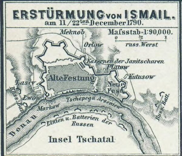
Erstürmung von Ismail am 11./22. December 1790
gbvppn_685000710_122_5
GeoPortOst II
Izmayil (Ukraine) Izmayil <Ukraine> / Eroberung <1790>, Russisch-Türkischer Krieg <1787-1792>
1790
1880
1 : 90000