ArcGIS, QGIS or web apps can simply use this map with web map services. WMTS, TileJSON or XYZ tiles are provided for quick access to processed maps.
Sign in to get links.
Sign in to download GeoTIFF.
Overlay & compare
Website
Original viewer
Catalog
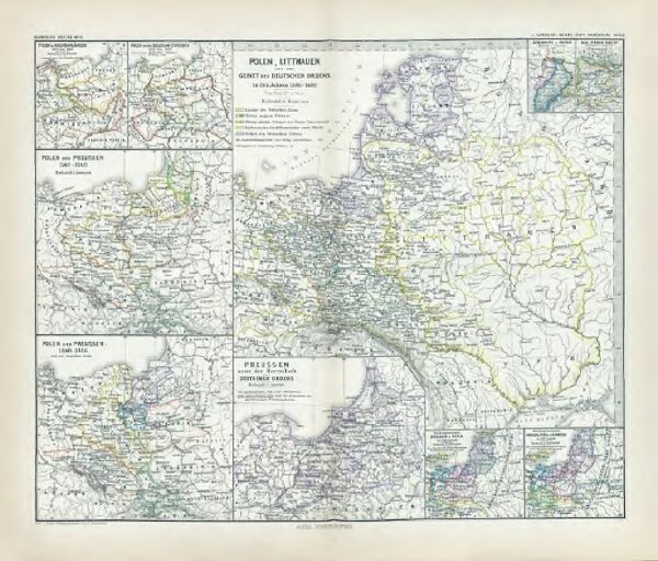
Polen, Litthauen und das Gebiet des deutsche Ordens in den Jahren 1386 - 1480
gbvppn_685000710_119
GeoPortOst II
Polen-Litauen, Preußen (Ordensstaat)
From 1386 to 1480
1880
1 : 6000000