ArcGIS, QGIS or web apps can simply use this map with web map services. WMTS, TileJSON or XYZ tiles are provided for quick access to processed maps.
Sign in to get links.
Sign in to download GeoTIFF.
Overlay & compare
iiif viewer, iiif info json
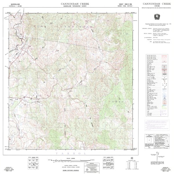
9148-24 Cannindah Creek edition 1
9148-24-cannindah-creek-ed-1-1975
Topographic Maps 1-25000 Series 1
Topographic map of Cannindah Creek at 1:25000 scale displaying graphic representations of features including relief hydrography vegetation and cultural
1975
Department of Natural Resources Mines and Energy
71.05904 × 70.866 cm
250