ArcGIS, QGIS or web apps can simply use this map with web map services. WMTS, TileJSON or XYZ tiles are provided for quick access to processed maps.
Sign in to get links.
Sign in to download GeoTIFF.
Overlay & compare
iiif viewer, iiif info json
Website
11017443854
flickr2
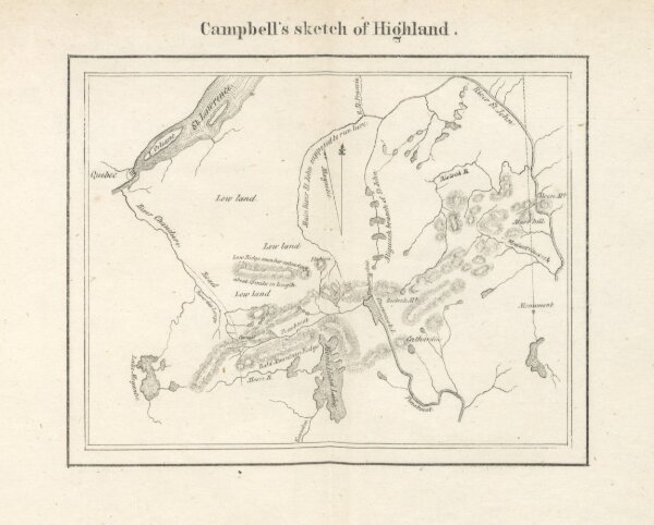
Book: The right of the United States of America to the North-Eastern boundary claimed by them. Principally extracted from the Statements laid before the King of the Netherlands, and revised by A. G., with an appendix and eight maps
1840
GALLATIN, Albert.
230.3 × 185.1 cm