ArcGIS, QGIS or web apps can simply use this map with web map services. WMTS, TileJSON or XYZ tiles are provided for quick access to processed maps.
Sign in to get links.
Sign in to download GeoTIFF.
Overlay & compare
iiif viewer, iiif info json
Website
11236435294
flickr2
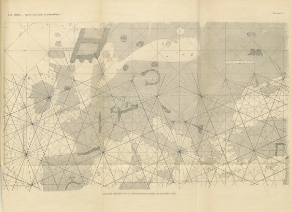
Book: Études historiques et géographiques ... Ouvrage contenant 10 cartes hors texte, etc
1896
HAMY, Ernest Théodore.
497.4 × 361.5 cm