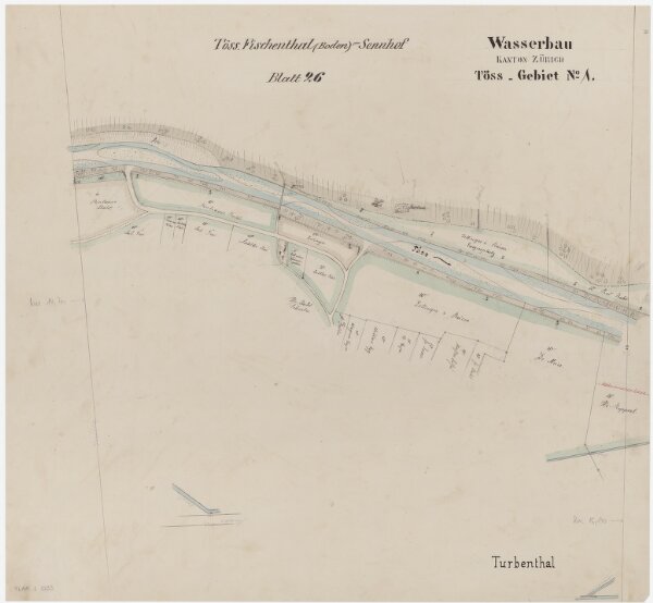
Wildberg, Turbenthal: Töss von Bleiketen bis oberhalb der Tösswiese; Situationsplan (Töss-Gebiet Nr. 1, Blatt 26)
ArcGIS, QGIS or web apps can simply
use this map with web map services.
WMTS, TileJSON or XYZ tiles
are provided for quick access to processed maps.
Sign in to get links.