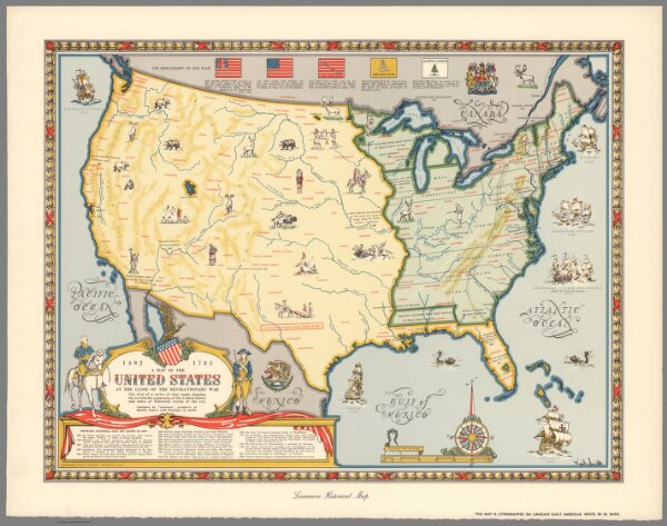
A Map of the United States at the Close of the Revolutionary War. 1492-1783
Identifier
11180.004
Collection
missinglocation
Description
A Map of the United States at the Close of the Revolutionary War. 1492-1783. The first in a series of four maps showing the territorial expansion of the United States and notes of historical events of the era. Karl Smith. Lindweave hisotrical map. Copyright 1957 by "Linweave", Springfield, Mass. This map is lithographed on Linweave early American, white , 80 Lb. Basis. (to accompany) Growth and development of America in maps by Linweave.