ArcGIS, QGIS or web apps can simply use this map with web map services. WMTS, TileJSON or XYZ tiles are provided for quick access to processed maps.
Sign in to get links.
Sign in to download GeoTIFF.
Overlay & compare
iiif viewer, iiif info json
Website
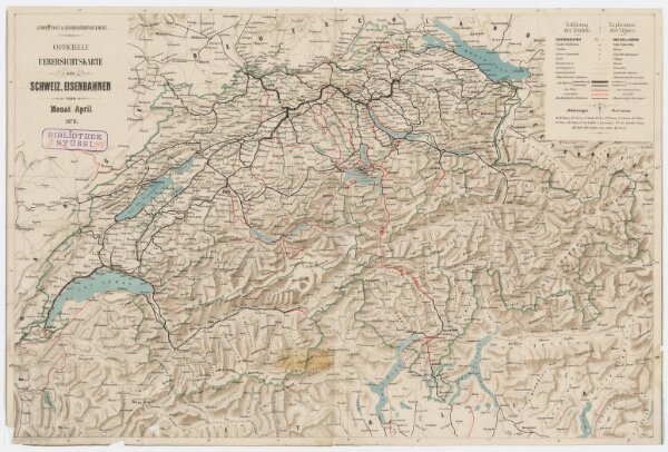
Schweizerische Eisenbahnen; offizielle Übersichtskarte
PLAN_K_22
Maps
Mit Legenden in deutscher und französischer Sprache.
From 1879-04-01 to 1879-04-30
Herausgeber: Schweizerisches Post- und Eisenbahndepartement
52 × 35 cm
300