ArcGIS, QGIS or web apps can simply use this map with web map services. WMTS, TileJSON or XYZ tiles are provided for quick access to processed maps.
Sign in to get links.
Sign in to download GeoTIFF.
Overlay & compare
iiif viewer, iiif info json
Website
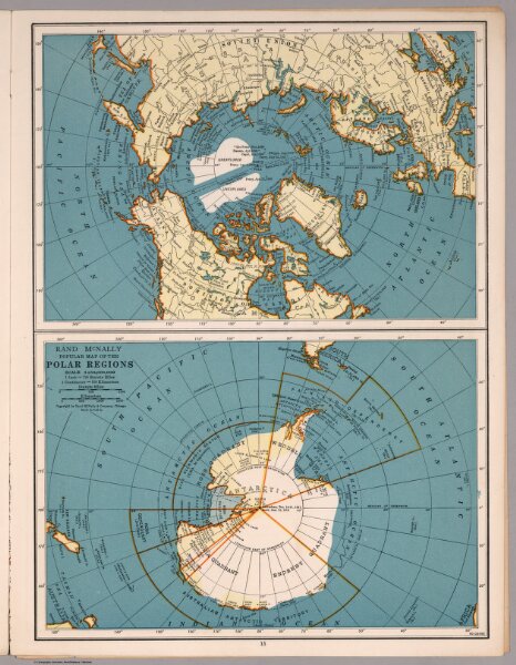
Rand McNally Popular map Polar Regions
5962.014
missinglocation
Rand McNally Popular map of Polar Regions. Copyright by Rand McNally & Company, Chicago. Made in U.S.A.
1939
Rand McNally & Company
25 × 33 cm
1 : 50000000