ArcGIS, QGIS or web apps can simply use this map with web map services. WMTS, TileJSON or XYZ tiles are provided for quick access to processed maps.
Sign in to get links.
Sign in to download GeoTIFF.
Overlay & compare
iiif viewer, iiif info json
Website
Original viewer
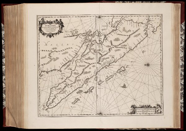
Svmatræ et insularum locorumque nonnullorum circumiacentium tabula noua
0106051080113
1600-1800
Annotatie: Zeekaart; Origineel is Blad 191 in atlas factice; Annotatie geografische gegevens: Schaalstokken op kaart: 30 Milliaria Germanica (=7,3 cm), en: 40 Milliaria Gallica (=7,3 cm); Oosten boven
1659
Johannes Janssonius 1588-1664
[Amstelodami] : [Apud Ioannem Ianssonium]
1 : 3100000
300