ArcGIS, QGIS or web apps can simply use this map with web map services. WMTS, TileJSON or XYZ tiles are provided for quick access to processed maps.
Sign in to get links.
Sign in to download GeoTIFF.
Overlay & compare
iiif viewer, iiif info json
Website
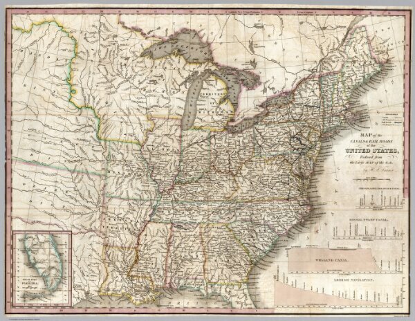
Map of the Canals & Railroads of the United States
4050.002
pilot2
Map of the Canals & Railroads of the United States, Reduced from the large map of the U.S. by H.S. Tanner.
1834
Tanner, Henry S.
Henry Tanner
57 × 43 cm
1 : 6336000