ArcGIS, QGIS or web apps can simply use this map with web map services. WMTS, TileJSON or XYZ tiles are provided for quick access to processed maps.
Sign in to get links.
Sign in to download GeoTIFF.
Overlay & compare
iiif viewer, iiif info json
Website
Catalog
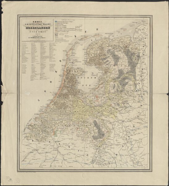
Proef eener geologische kaart van de Nederlanden
1874-350611
Maps of the Netherlands and Dutch regions
1844
door W.C.H. Staring
op steen geteekend en gegraveerd door J.Jaeger.
Groningen : J. Oomkens Jz
58 × 65 cm
1 : 800000
300